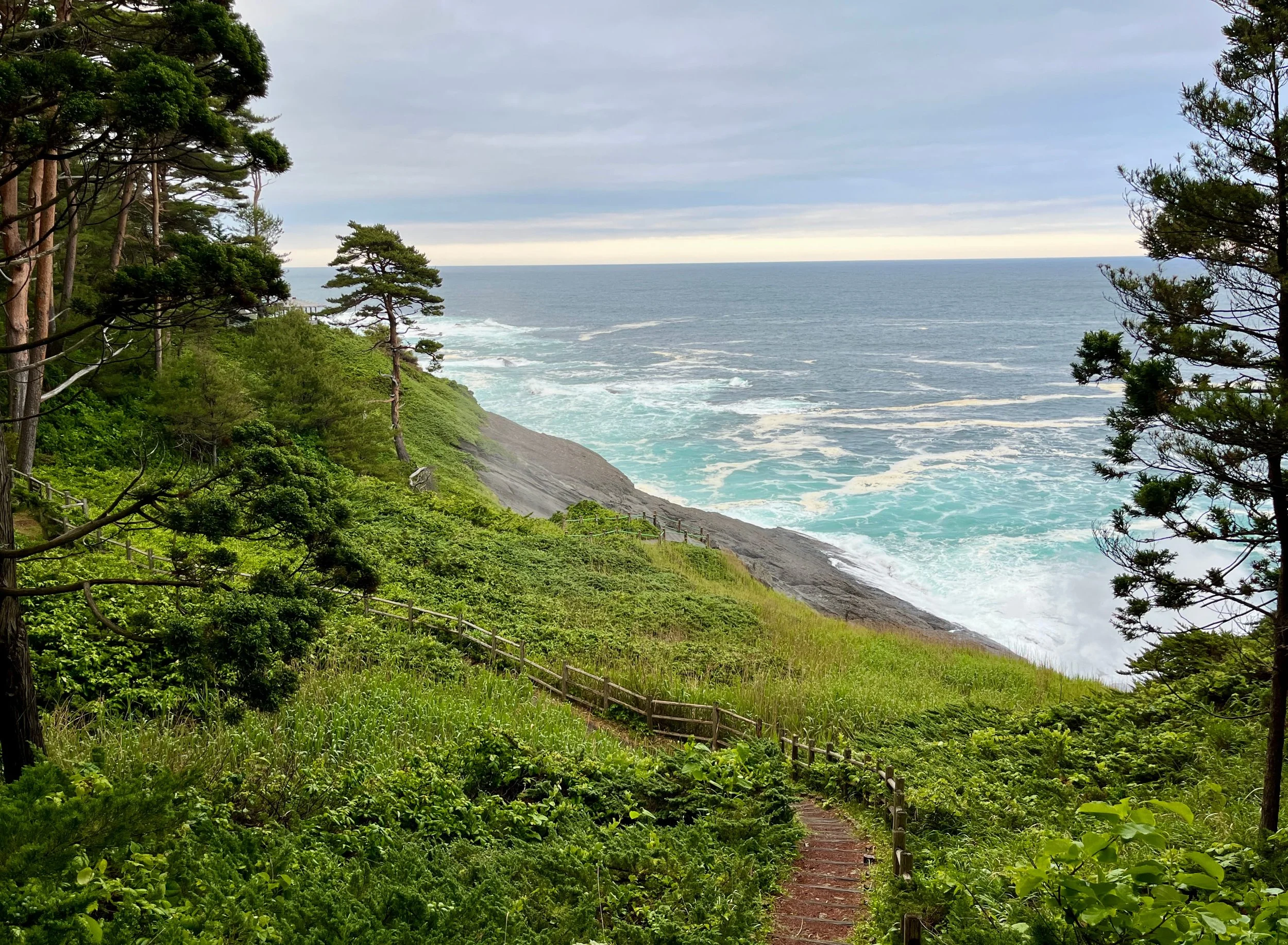
Sakiyama Blowhole, Miyako: Japan's largest blowhole (!) blasting seawater up to 30 metres high
Plan the Michinoku Coastal Trail
Planning a hike on a 1,000+ km trail can look complicated at first. It gets much easier once you break it into a few decisions: how long you have, when you want to go, and where you want to walk. You don't need to plan the whole Michinoku Coastal Trail. Start with the trip you actually want to take, then work out the accommodation, transport and logistics around it.
Start With Three Decisions
1. How Much Time Do You Have?
A day hike, a long weekend, a week or the full trail all require very different planning.
Explore Routes →2. When Are You Going?
Weather, daylight, seasonal facilities and transport can all affect your route.
When to Go →3. Where Will You Stay?
On some remote sections, where you sleep will determine how far you can realistically walk that day.
Find Accommodation →Plan Your Trip
Accommodation
Hotels, minshuku, ryokan, guesthouses, campsites and booking advice.
Find Accommodation →Food, Water & Resupply
Food stops, water, toilets, remote resupply gaps and what to carry between towns.
Food, Water & Resupply →Getting There & Around
Trailheads, trains, buses and local transport along the coast.
Transport Guide →Difficulty & Terrain
The MCT varies enormously. Some sections are gentle coastal walks. Others involve steep climbs, repeated ups and downs, rough forest trail and surprisingly slow progress. Distance alone doesn't tell you how hard a day will be, so it helps to understand the terrain before choosing your route.
Maps & Navigation
Three tools work best together: the official Hiking Map Books for the section you're walking, the Data Book for distances and facilities (especially for longer hikes), and current GPX data loaded into an app that works offline. I also maintain a free, independent and crowdsourced MCT map showing accommodation, campsites, transport, shops, onsen and other useful places. See my dedicated Map & Navigation guide below for more. Also, always check current Michinoku Coastal Trail Association's latest trail alerts before setting out, as routes and conditions can change.
A Few Things Worth Knowing
You don't need to walk the whole trail. For many visitors, I think a few days or a week make for a much better introduction than jumping straight into a full thruhike.
Accommodation can shape your route. Some stretches have very limited places to stay, so work out your overnight stops before committing to daily distances.
Public transport is useful, but often infrequent. Trains and buses make section hiking very possible, but rural timetables need planning.
Conditions change. Ferries, trail sections, seasonal facilities and transport can change faster than a guidebook or website can keep up, including this one. Check current official information before relying on them.
Still Have Questions?
The MCT FAQs cover many of the questions that come up when planning a first trip, from camping and luggage to navigation, difficulty and travelling independently.
Still Have Questions?
Quick answers on camping, navigation, luggage, difficulty and planning your first MCT trip.
Read the FAQs →Want More Support?
Explore guided trips, self-guided options and local experiences along the trail.
Tours & Experiences →Join the MCT hiking community
Planning your hike or already on the trail? Join the international Michinoku Coastal Trail Facebook group for questions, recent updates, trip reports and advice from other hikers.
Join the Facebook group →Want the Deeper Guide?
I’ve spent the last 6 years (!) writing a practical, independent handbook to the Michinoku Coastal Trail, based on my own experience walking the route. Join the list for book launch updates, early access and occasional MCT planning advice!