
What is the Michinoku Coastal Trail?
In ancient times, Japan’s north-eastern Tohoku region was known as ‘Michinoku’ – meaning ‘the end of the road’.
As one of Japan’s more remote and less developed regions, Tohoku is known for its untamed nature and rugged landscapes, worlds away from the bright lights and tourism hubs of Tokyo, Osaka, and Kyoto.
A land steeped in history, mythology, and folklore, Tohoku has retained its own identity over the centuries; from its charming and (at times, indecipherable) dialect to its ancient traditions and tales, occupying a unique space in the Japanese archipelago.
And while the tourism boom continues to grip Japan, fewer than 2% of foreign travelers make their way to Tohoku, making it the ideal get-away for an authentic, off-the-beaten-path experience.
Where is the trail?
It’s located in the northeast of Japan’s main island, Honshu. The trail heads are in Hachinohe City (Aomori Prefecture) in the north, and Soma City (Fukushima Prefecture) in the south.


GOOGLE MAPS (2024 version)
Here is a free, crowd-sourced Google Map of the Michinoku Coastal Trail, featuring everything from accommodation options to grocery stores and onsens (hot springs) - LINK.

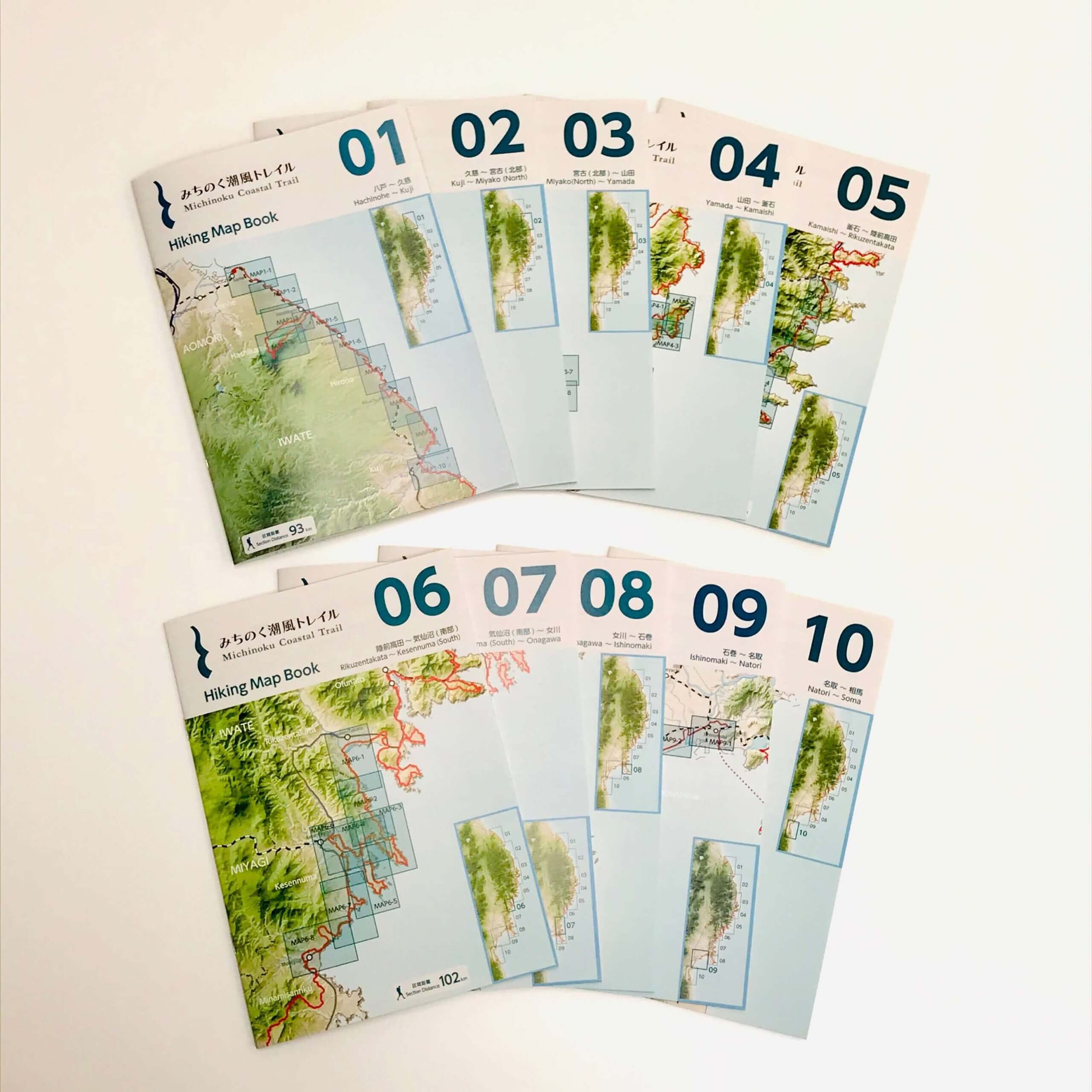
PHYSICAL MAPS
You can buy physical copies of the official trail maps and have them delivered to anywhere in Japan or internationally. See the bilingual Trail Gate website to buy trail maps - LINK.
GPS DATA
The Michinoku Coastal Trail Natori Center has kindly provided GPS data (GPX file) for download. See here for more.
HEAR FROM OTHER HIKERS
Many hikers share their stories of hiking the MCT, answer questions, and share the latest updates via this Facebook community group.