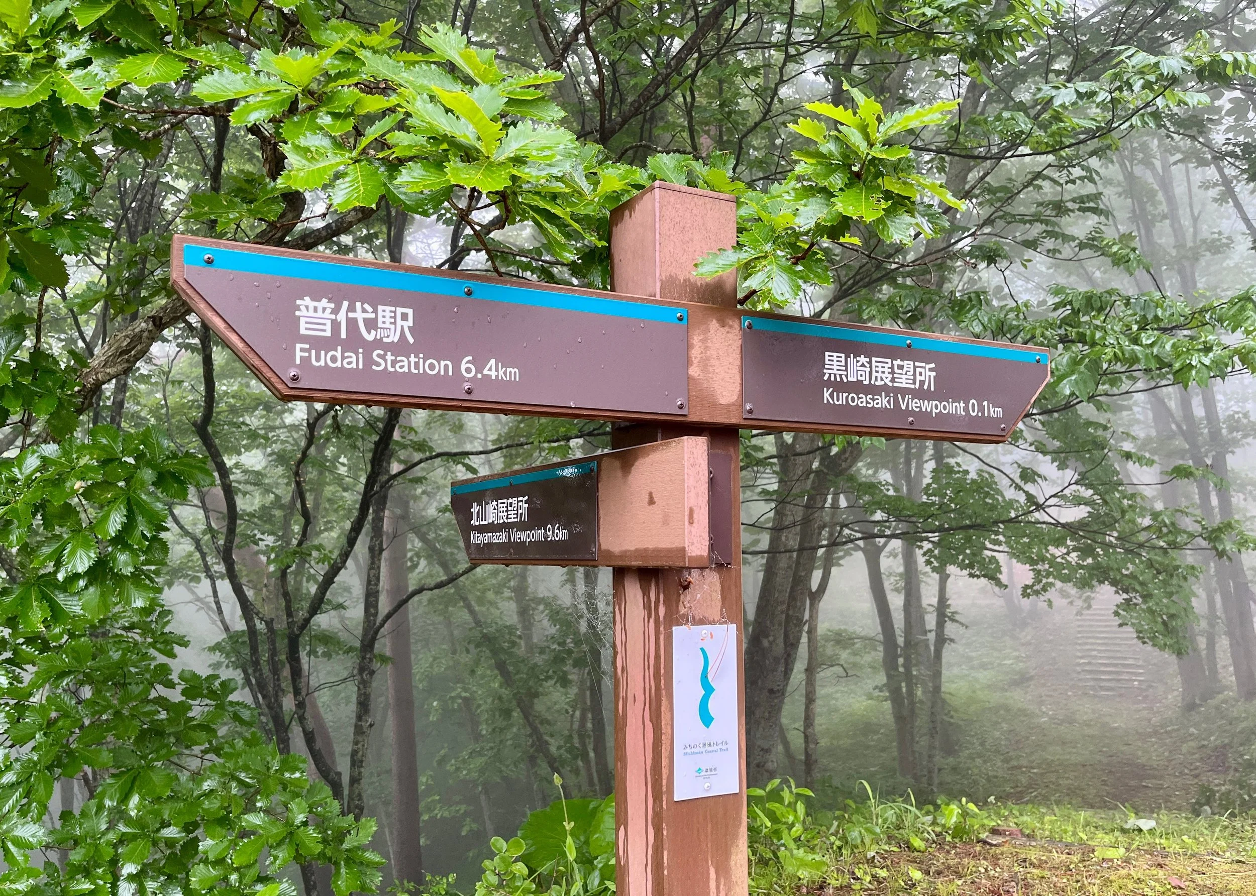
One of the many types of trail markers along the Michinoku Coastal Trail
Michinoku Coastal Trail Map & Navigation
This page brings together the main maps and navigation tools for planning and walking the Michinoku Coastal Trail.
It includes my free, independent and crowdsourced MCT map, viewed more than 1.3 million times (!) with accommodation, campsites, transport, shops, onsen, ATMs and other useful places. It’s built from my own research and experience, contributions from other amazing hikers, and local/public information. I try to keep it current, but some information may be outdated. Remebe that rural businesses often keep irregular or seasonal hours. If you’re relying on somewhere being open, check directly or call ahead!
For the actual trail route, use the official Hiking Map Books, current GPX data and latest Michinoku Coastal Trail Association (MCTA) trail alerts (see more below).
My map is a planning tool, not a replacement for the official MCT maps!
Explore the MCT Map
Use the interactive map to get a feel for the geography of the trail and work out the practical details around your hike. You can use it to look for:
Accommodation
Hotels, ryokan, minshuku, guesthouses and other places to stay.
Campsites
Camping facilities along or close to the trail.
Transport
Stations and useful connections for starting, finishing or breaking up a hike.
Food & Resupply
Shops, supermarkets, markets and other useful resupply locations.
Onsen
Hot springs and bathing facilities near the route.
Visitor Centres
Trail facilities and places to find local information and advice.
The map is designed to help figure out questions like: Where can I sleep? Where can I buy food? Where is the nearest station? Is there an onsen near the end of my walk?
Important: This Is an Independent Planning Map
This map is maintained independently by MichinokuTrail.com. It is not an official Michinoku Coastal Trail map, and I would not use it as your only source for following the trail itself. Routes can change because of construction, damage, weather and other local conditions. Businesses and facilities can also close or change their hours. For the current official route, use the resources published by the Michinoku Coastal Trail Association (MCTA).
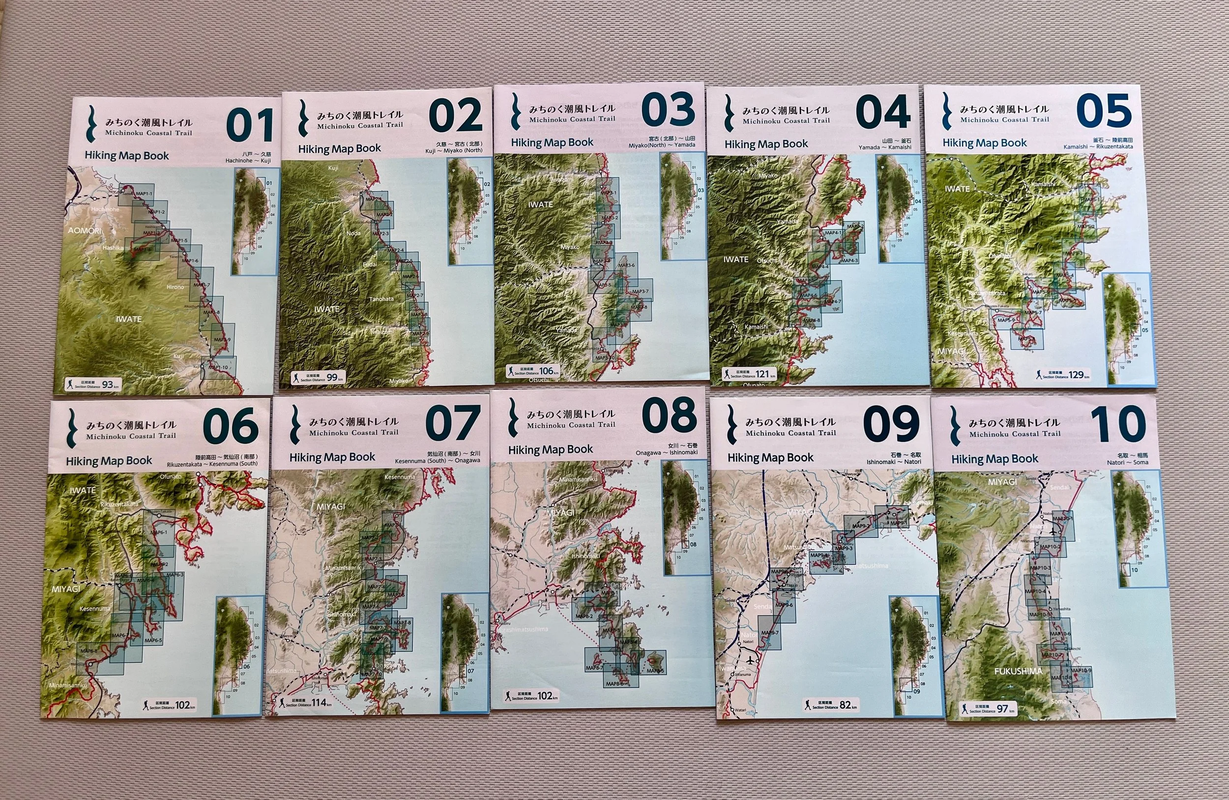
Official Paper Maps sold by the Michinoku Coastal Trail Association

Natori Trail Center, Miyagi. Make sure to stop here for all the latest information - the staff are very welcoming and helpful!
What Should I Use to Navigate the Trail?
I recommend using three official resources together.
Hiking Map Books: The Michinoku Coastal Trail Hiking Map Books are the official paper maps for the trail. The full route is divided across 10 map books, so you only need to carry the books covering the section you're actually walking. Even if you're navigating with your phone, I recommend carrying the relevant paper map. Phones run out of battery. Reception can disappear. And I wouldn't rely on waymarking alone to navigate every section of the MCT.
Current GPX Data: MCTA also provides the current route as downloadable GPX data. Download the files you need before you start walking, then load them into a GPX-capable hiking app that supports offline maps. Whichever app you use, import the current official MCTA GPX, download the relevant map area before setting out, and check that you can see both the route and your position without a mobile connection.
(Especially for longer hikes) The Data Book: The official Data Book covers the entire trail and is particularly useful when planning daily stages. It includes information such as distances, elevation, nearby railway stations, toilets, water sources and shops. I use it alongside the maps rather than treating either one as a complete planning tool on its own.
*If you can, I 100% recommend going to the Natori Trail Center in Miyagi. This is the heart of the trail, with all the latest information, a shop and a campsite. The staff there are extremely warm and helpful, and some also speak English.
Which GPX App Should I Use?
You don't need a specific MCT app. What matters is that your app can display the official GPX route and work offline.
Three options worth considering are:
YAMAP
Japan-focused hiking app with offline maps and GPX import. Particularly relevant if you're hiking extensively in Japan.
Gaia GPS
Strong GPX and offline-mapping tools. A good option for hikers already used to detailed outdoor navigation apps.
AllTrails
Familiar to many international hikers and supports custom GPX routes and offline navigation.
The important point isn't which app you choose. Use the latest official MCTA GPX rather than assuming a route found inside an app is the current official trail.
My Recommended Navigation Setup
Before heading onto the trail, I would ideally:
Carry the relevant official Hiking Map Book.
Download the latest official GPX file for your section.
Import it into an offline-capable hiking app and download the relevant map area before setting out.
Carry a power bank, particularly on long or remote days.
Check the latest MCTA trail alerts immediately before walking the section.
Then use my independent map for the layer around the hike: accommodation, food, stations, onsen and other practical places.
Don't Rely on Standard Google Maps for the Trail Route
Google Maps is extremely useful in towns for finding stations, accommodation, supermarkets, restaurants and other businesses. But don't assume that asking Google Maps for walking directions will keep you on the official Michinoku Coastal Trail. Its offline mode doesn't provide walking directions either, so it isn't a substitute for an offline GPX-capable hiking app on remote sections. For the trail alignment itself, follow the current official MCT map and GPX information.
Check Trail Alerts Before You Walk
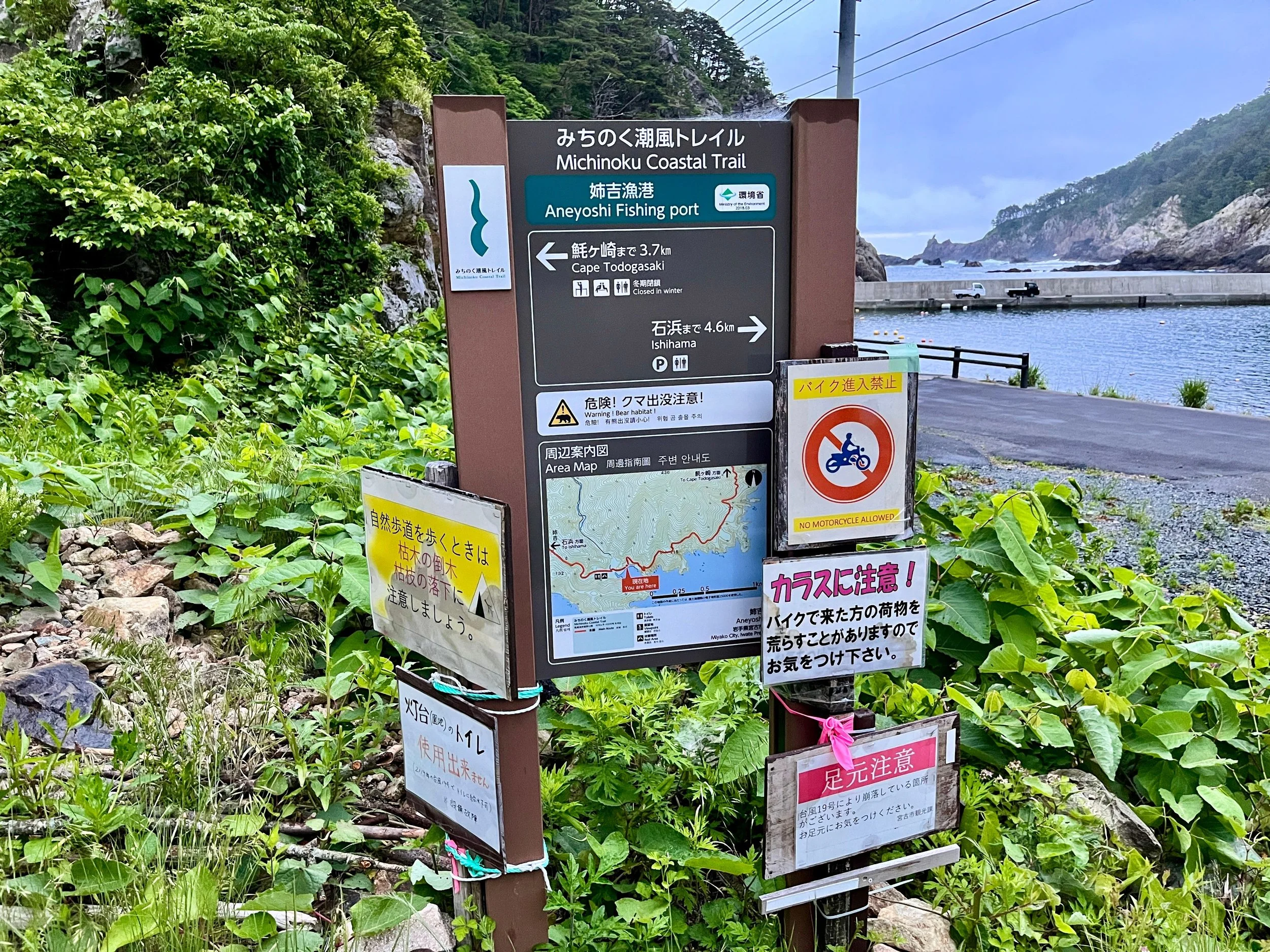
The MCT is a living route. Sections can change because of road works, storm damage, landslides, river conditions, wildlife, reconstruction work and other local circumstances. MCTA publishes current trail alerts covering things such as detours, route changes, natural hazards and other safety information. Even if you planned your route months ago, check again shortly before you walk it.
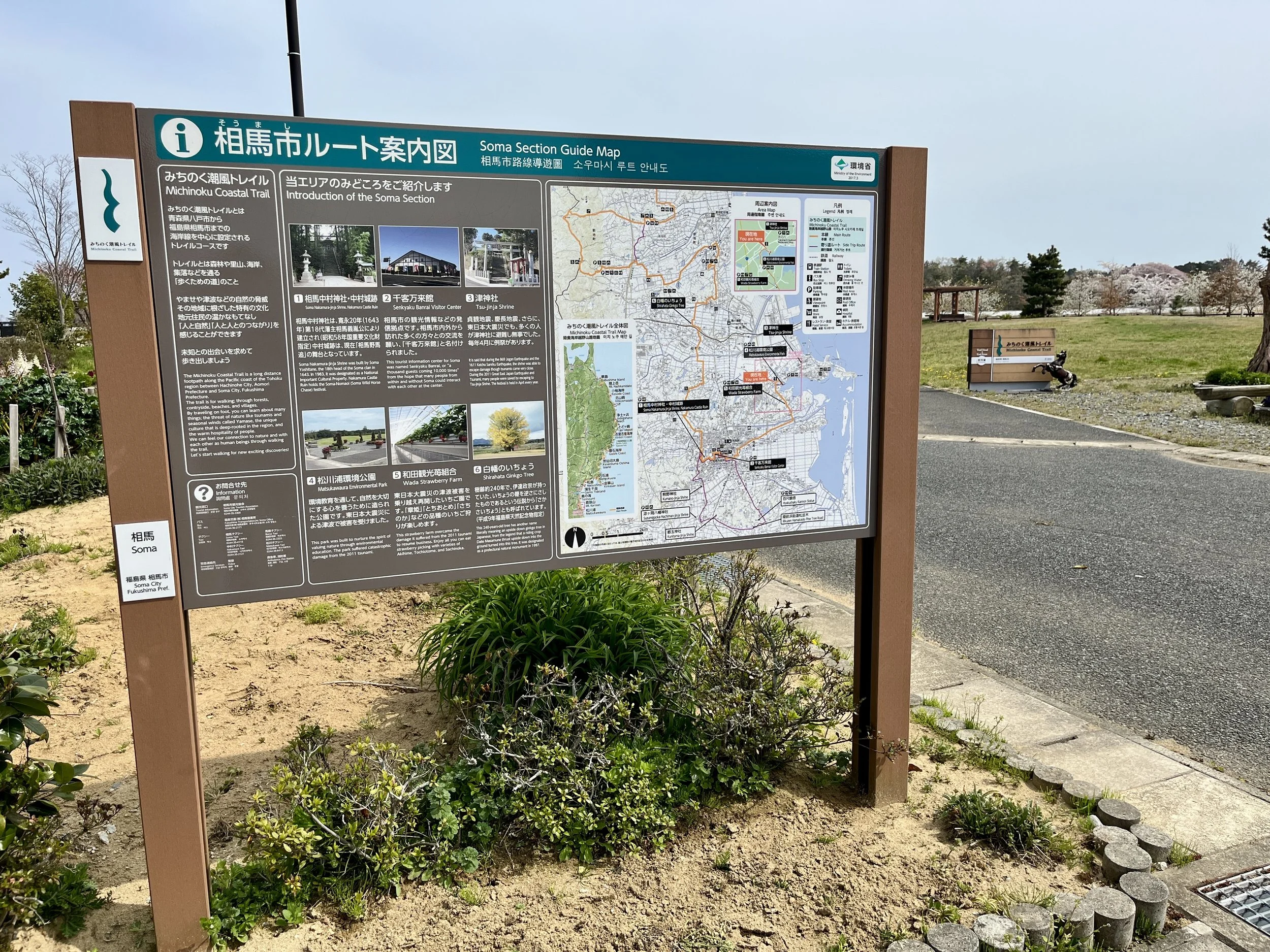
Maps Are Only Part of the Planning
Knowing where the trail goes is one thing. Working out whether you can realistically walk a section is another. Before committing to a route, also check:
where you're going to sleep
where you can buy food
where you can refill water
public transport at the beginning and end
realistic walking distances and elevation
current trail conditions
For remote sections, I usually work backwards from accommodation and transport, then decide how much trail I can sensibly cover between them.
*Distance alone can be misleading on the MCT. For more on terrain, elevation and how to judge a realistic hiking day, see the Difficulty & Terrain guide →
Continue Planning
Plan Your Hike
Accommodation, transport, seasons, budget, packing and other logistics.
Start Planning →Food, Water & Resupply
Food stops, water, toilets and remote resupply gaps.
Food, Water & Resupply →Planning an MCT Trip?
Get practical planning advice, route ideas and occasional Michinoku Coastal Trail updates.
JOIN THE MCT EMAIL LIST